Log in
All resources
Create a design
40,080 Free Images of 1890 Maps
gerard valck
maps made in the 17th century
maps by pieter schenk (i)
atlantis magni tomus quartus (biblioteca comunale di trento)
atlantis magni tomus quintus (biblioteca comunale di trento)
maps made in the 18th century
1890 paintings
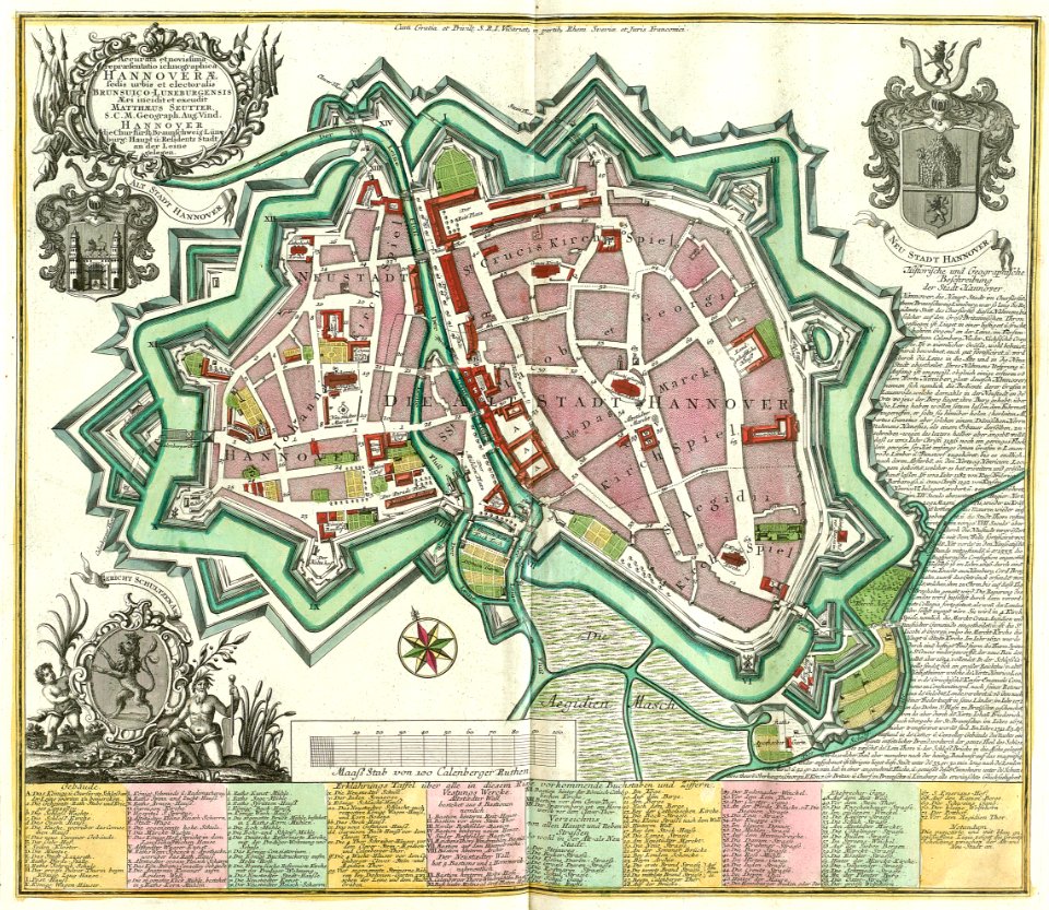
johann baptist homann
fonds ancely - bibliothèque municipale de toulouse - maps
maps from the earth and its inhabitants, vol. x
maps made in the 17th century
gerard valck
maps made in the 17th century
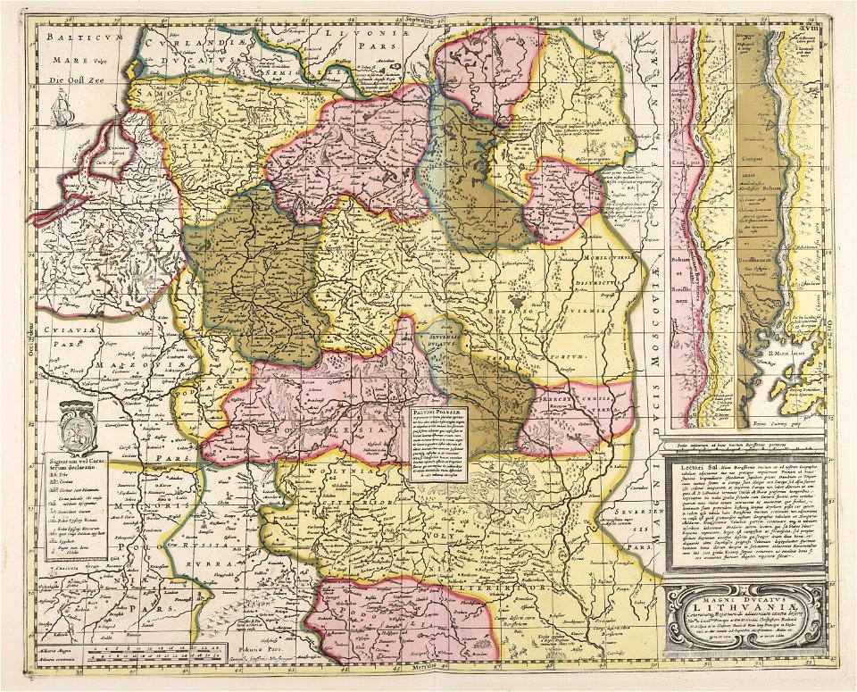
gerard valck
maps made in the 17th century
gerard valck
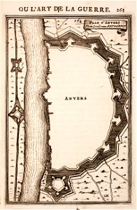
prints from manesson travaux de mars at the peace palace library
fortifications in france
atlantis magni tomus quintus (biblioteca comunale di trento)
maps made in the 17th century
maps made in the 17th century
gerard valck
maps made in the 18th century
gerard valck
maps made in the 17th century
gerard valck
maps made in the 17th century
gerard valck
maps made in the 17th century
gerard valck
maps showing history
corfu
maps made in the 17th century
gerard valck
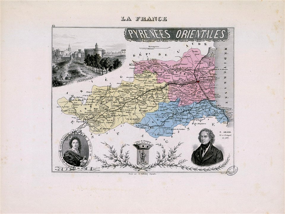
hyacinthe rigaud
françois arago
maps made in the 17th century
gerard valck
maps made in the 17th century
gerard valck
maps showing history
corfu
maps made in the 17th century
gerard valck
maps made in the 18th century
johann baptist homann
maps made in the 18th century
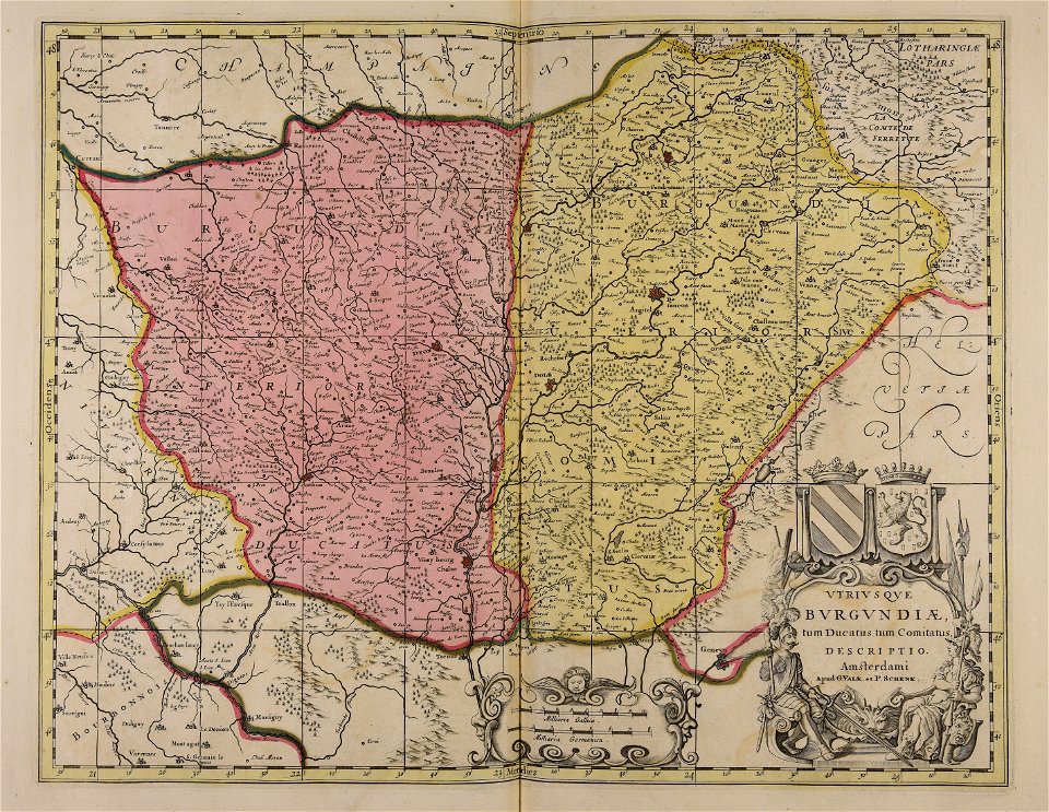
gerard valck
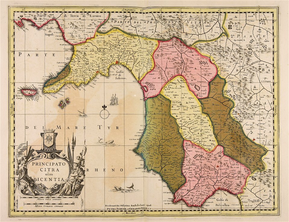
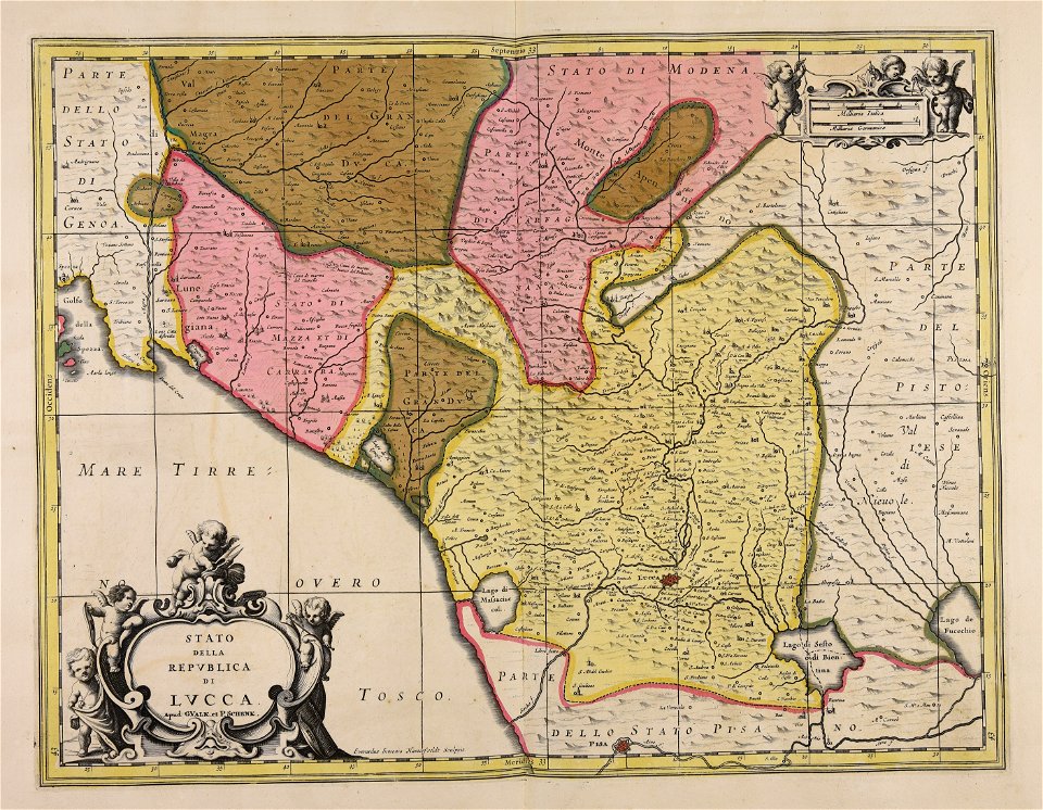
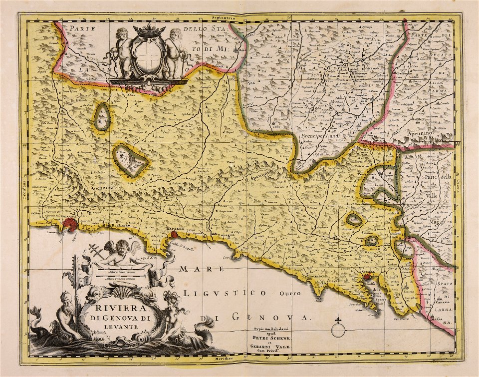
republic of lucca
gerard valck
maps made in the 17th century
gerard valck
maps made in the 17th century
gerard valck
maps made in the 17th century
gerard valck
maps made in the 17th century
gerard valck
maps made in the 17th century
gerard valck
historical documents of the spandau citadel
festung spandau
1780 in south america
1780 maps
atlantis magni tomus quartus (biblioteca comunale di trento)
maps made in the 17th century
engravings of topographia saxoniae inferioris
maps of hamburg-langenhorn
maps made in the 17th century
gerard valck
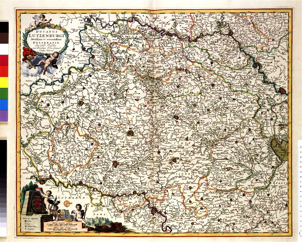
maps by willem and johannes blaeu
coats of arms of zeeland
maps made in the 17th century
gerard valck
maps made in the 17th century
gerard valck
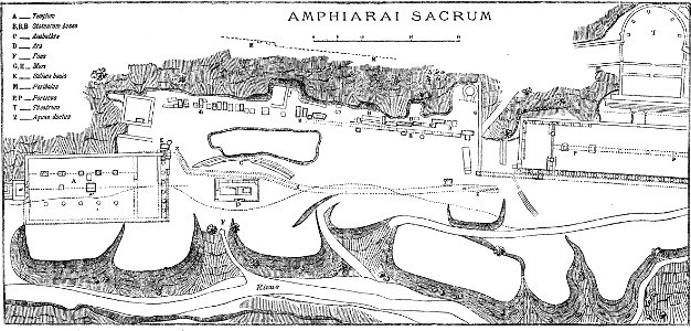
paulys realencyclopädie der classischen altertumswissenschaft band i
2
maps made in the 17th century
gerard valck
prints from manesson travaux de mars at the peace palace library
fortifications in belgium
maps made in the 17th century
gerard valck
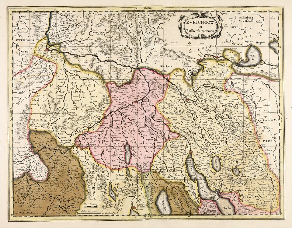
history of zürich
engraved maps
maps made in the 17th century
gerard valck
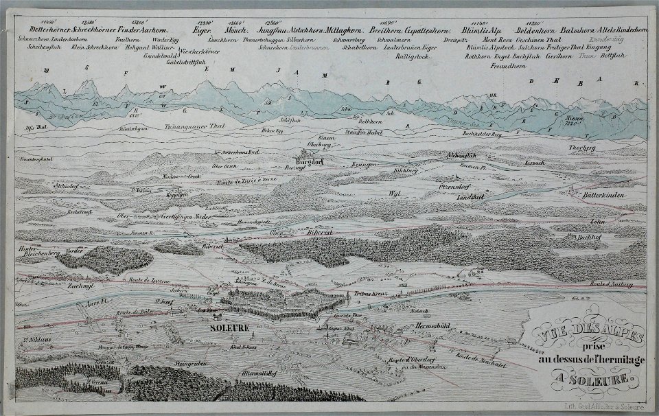
historical images of solothurn
eiger
temperance movement
jr
maps made in the 17th century
gerard valck
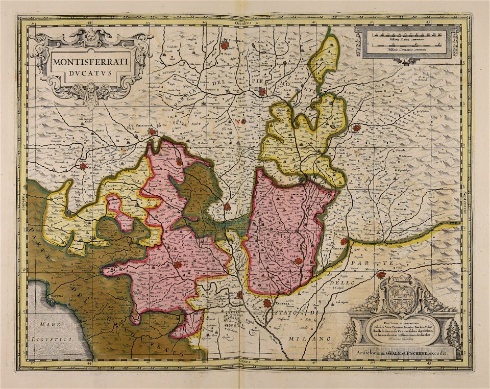
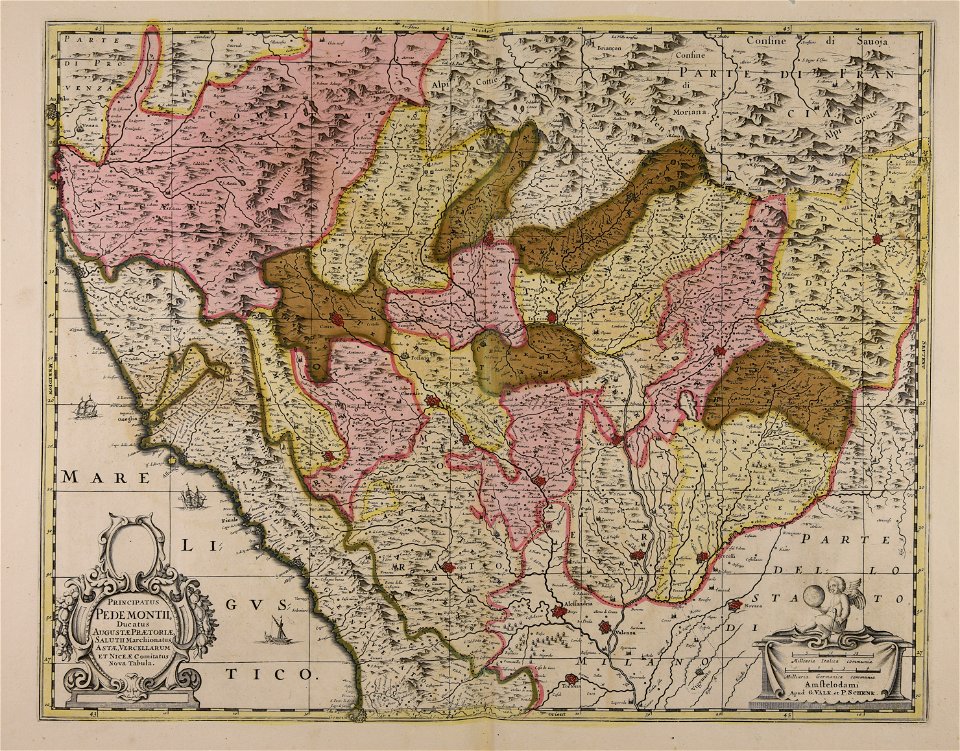
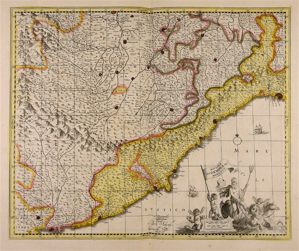
piedmont
lombardy
maps by pieter schenk (i)
gerard valck
maps by pieter schenk (i)
gerard valck
maps made in the 17th century
jan janssonius
maps from the earth and its inhabitants, vol. x
1890 maps of africa
coats of arms of cities in alpes-de-haute-provence
pierre gassendi
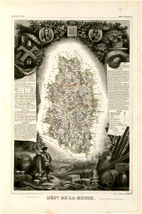
coats of arms of cities in meuse
nicolas oudinot (1767–1847)
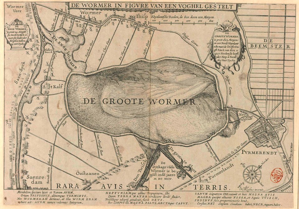
animal shape
purmerend
copper engraving
maps
dendermonde
lillo
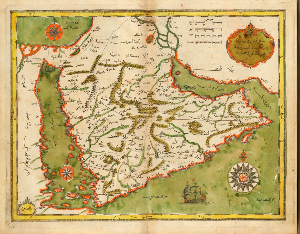
old maps of the middle east
harvard university
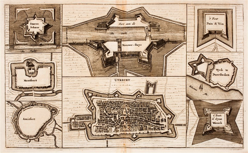
fortifications in the netherlands
wijk bij duurstede
maps from the mechanical curator collection available to georeference
maps from the mechanical curator collection
new market square in rzeszów
maps of 18th-century europe
birmingham museum and art gallery
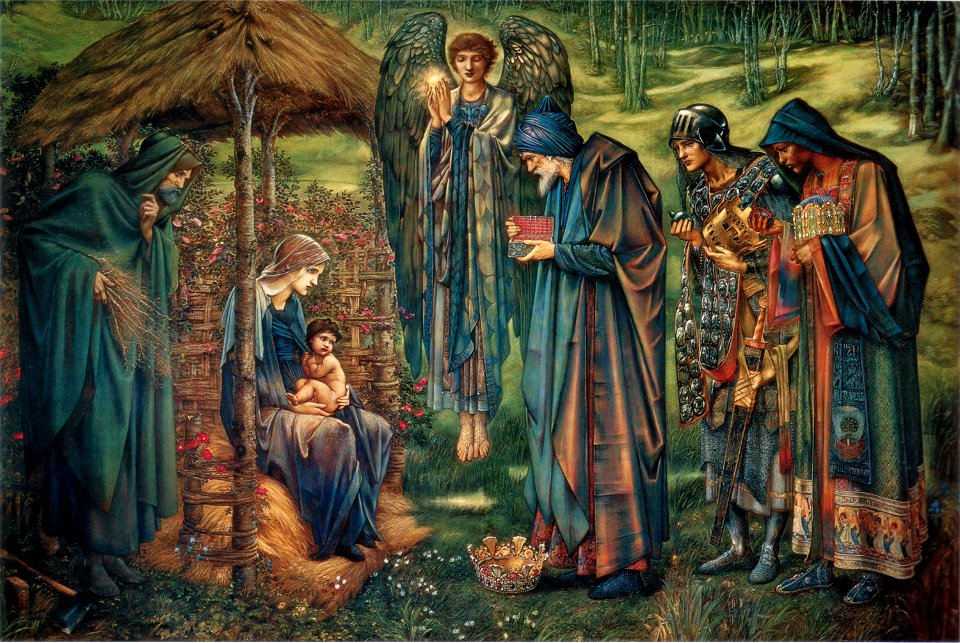
edward burne-jones
1890s oil on canvas paintings in spain
compromiso de caspe
getting dressed in art
frigidaria
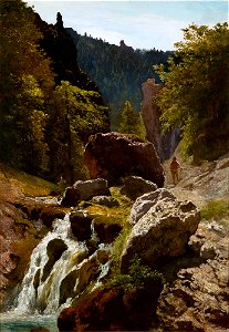
19th-century mountain paintings
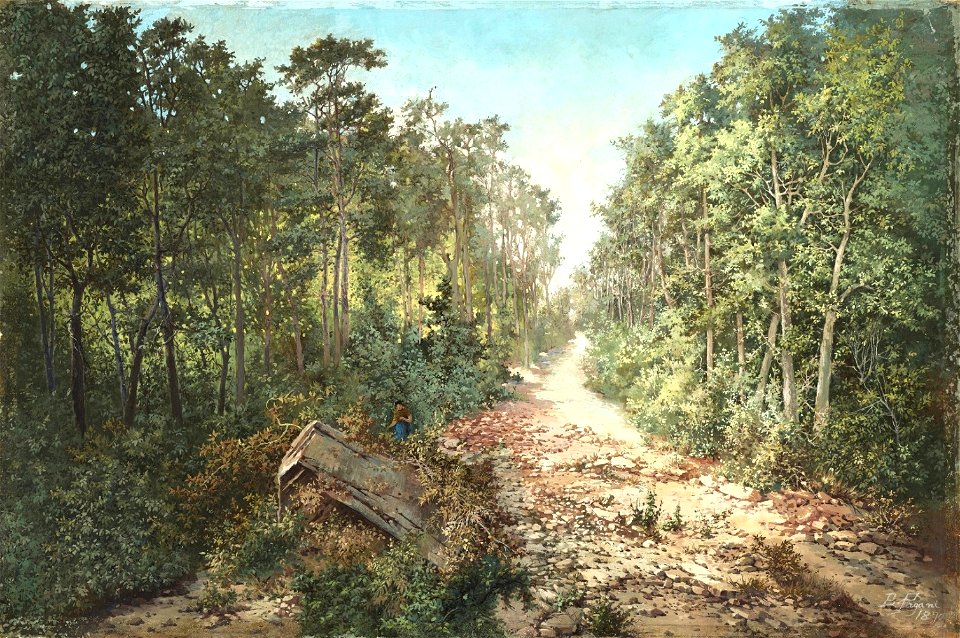
1890s landscape paintings
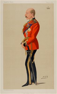
caricatures by leslie ward in vanity fair
vanity fair caricatures (politicians)
duke of connaught and strathearn
prince arthur
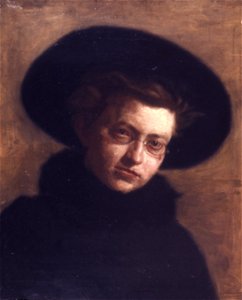
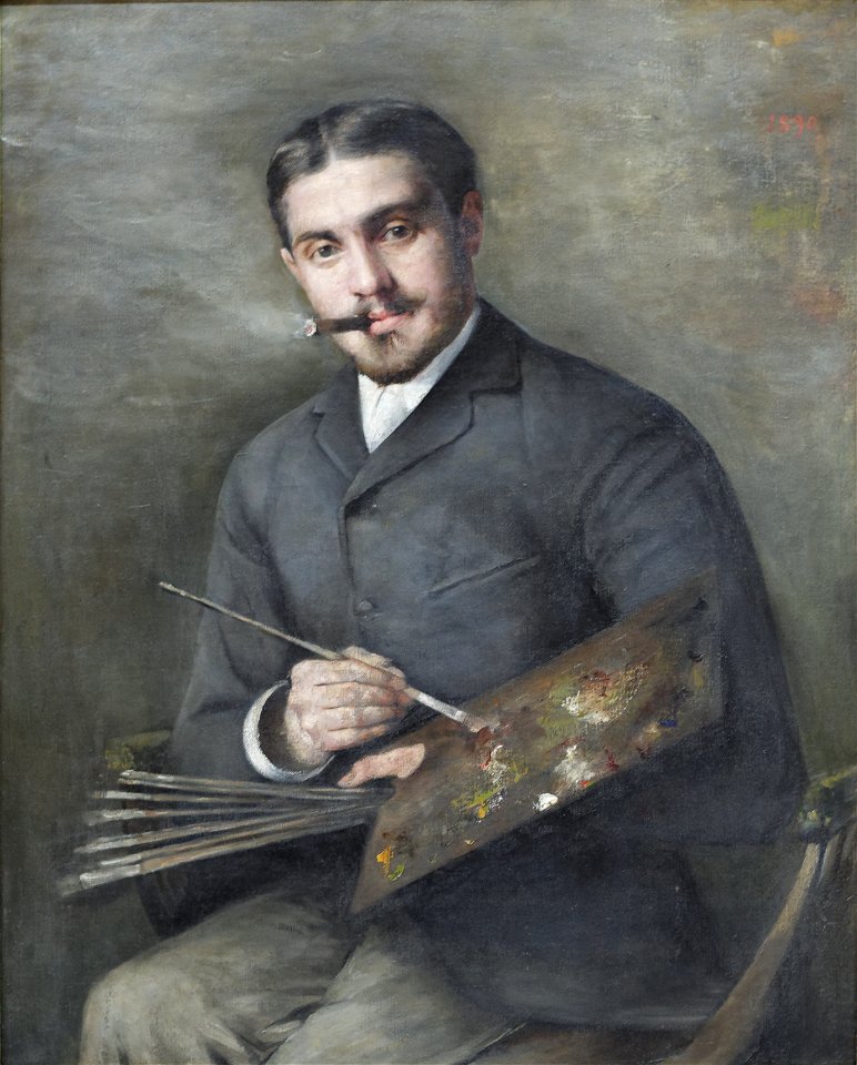
female portrait paintings by thomas eakins
fur collars in art
list of vanity fair (british magazine) caricatures (1890–1894)
caricatures by leslie ward in vanity fair
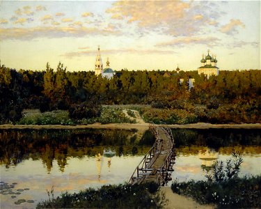
19th-century landscape paintings in the tretyakov gallery
paintings of monasteries
primary school
catechesis
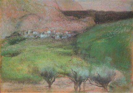
1890 paintings by edgar degas
1890s landscape paintings
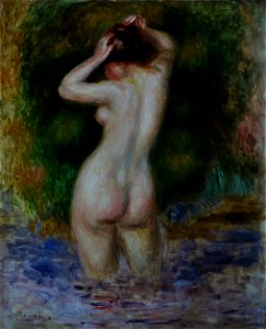
paintings of nude women standing in water outdoors
1890s paintings from france
art critic
1890
19th-century oil portraits of sitting men at three-quarter length
19th-century portrait paintings in romania
19th-century paintings in the museu nacional de belas artes
brazilian paintings in the museu nacional de belas artes
pastel paintings in the norton simon museum
1890 paintings by edgar degas
lithographs of paris
grand châtelet
maps from the earth and its inhabitants, vol. x
maps of africa
maps from the earth and its inhabitants, vol. x
maps of africa
maps from the earth and its inhabitants, vol. x
maps of africa
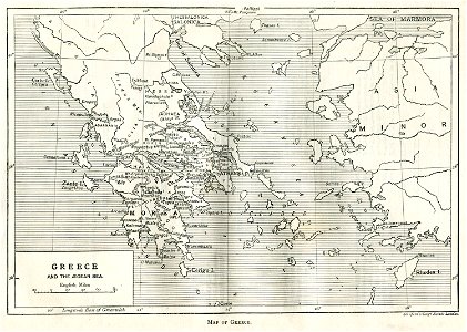
old maps of greece
greek pictures
crowned eagles argent
pictorial maps
russo-turkish war (1877–1878)
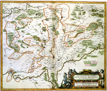
old maps of europe
francis d'avignon
george hayward
francis d'avignon
george hayward
old maps of florida
madrid
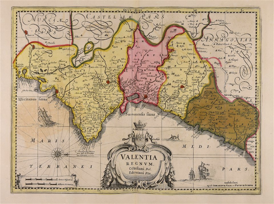
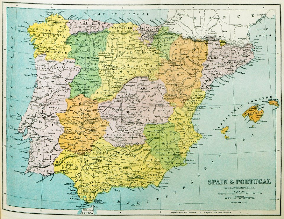
old maps of the iberian peninsula
1870 in spain
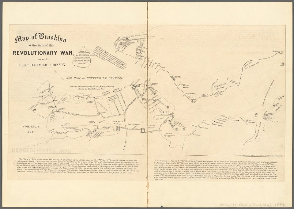
battle of long island
new york city
fort zeelandia, taiwan in art
siege of fort zeelandia
maps made in the 17th century
cornelis danckerts (i)
maps made in the 17th century
nicolaes visscher ii
johann baptist homann
1717
works by clement de jonghe
historical views of paris
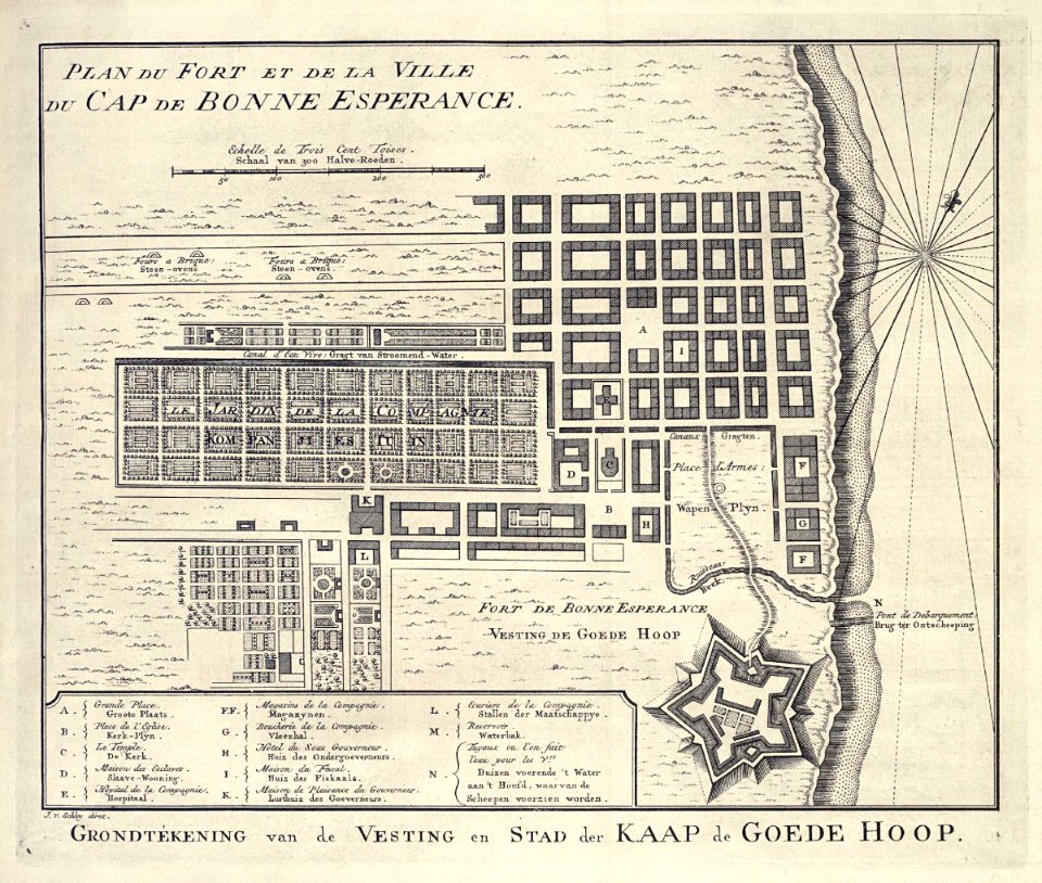
grand parade
cape town
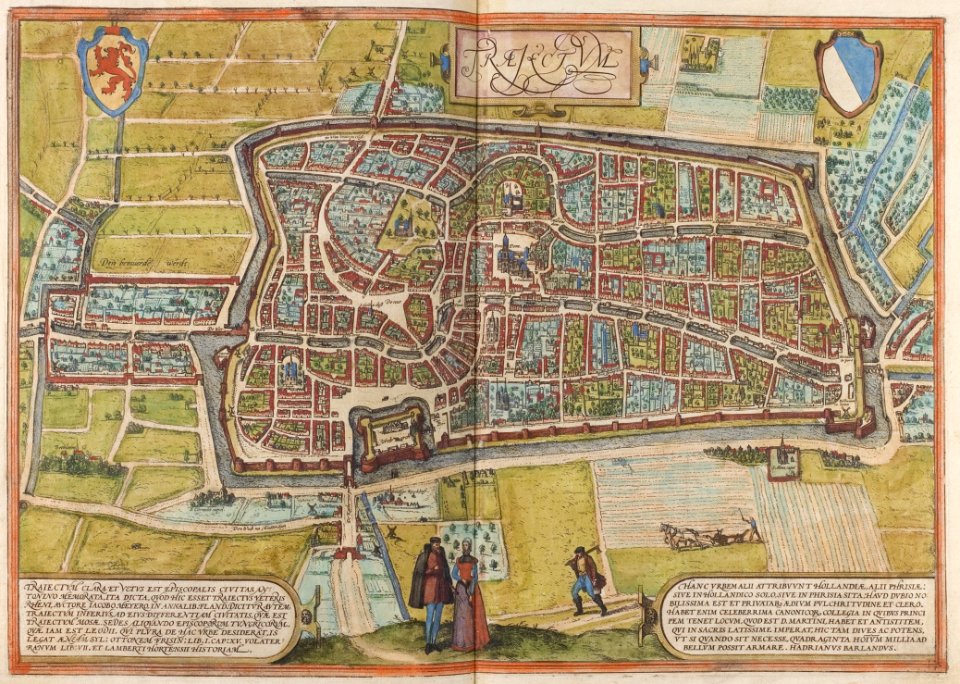
old maps of utrecht (city)
braun & hogenberg
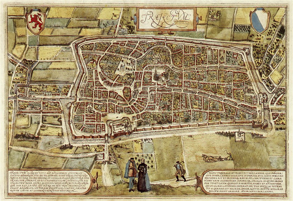
old maps of utrecht (city)
braun & hogenberg
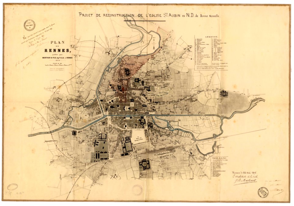
jean-baptiste martenot
1875 maps
maps from the mechanical curator collection
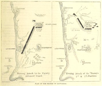
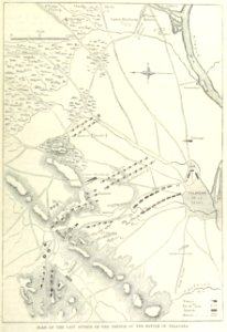
british battles on land and sea
maps from the mechanical curator collection
british battles on land and sea
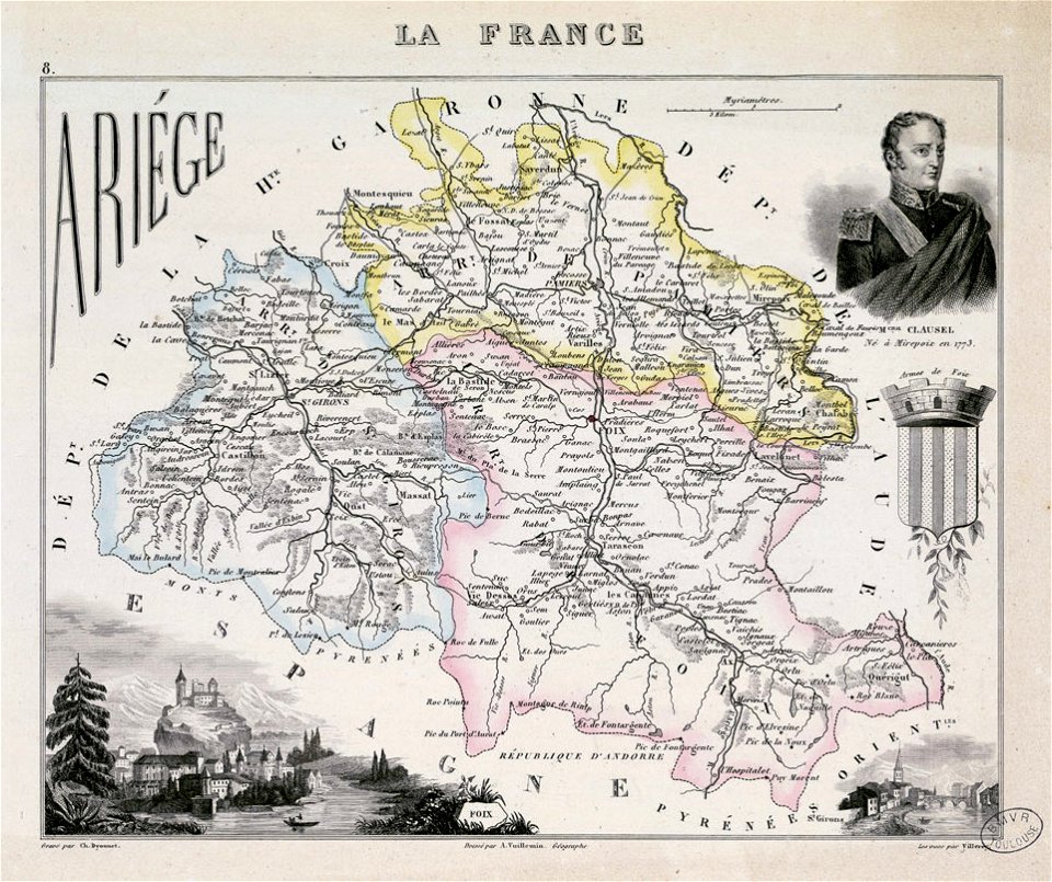
fonds ancely - bibliothèque municipale de toulouse - maps
coats of arms of foix
maps with cartouches
atlas van der hagen
maps with cartouches
atlas van der hagen
prints from bonne atlas de toutes les parties at the peace palace library
dien (printer)
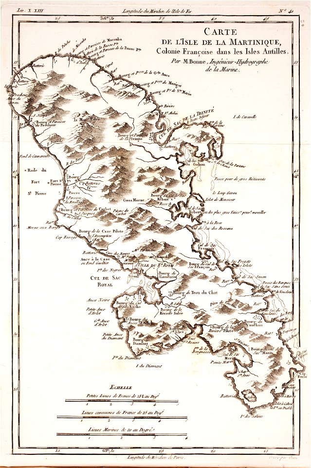
18th-century maps of martinique
dien (printer)
8801 - 8900 of 40,080
Next page
/ 401